What is RTK and how does it work?
RTK stands for“Real-Time Kinematic”. It is a positioning and navigation system that delivers centimeter accuracy to the aircraft that carry it.
Professional drones, such as the EVO 2 series, use to determine their position, a combination of artificial satellite constellations, such as GPS and GLONASS or GPS and BeiDou, whose function is to triangulate the signal to determine the geographical position of our equipment on the planet based on coordinates.
Depending on the region we are in, the satellite constellation we will use depends on the region we are in. This link between our drone and the satellites is not entirely accurate, there are communication interruptions or delays during the link, which cause our position to have location errors of a couple of meters approximately compared to the coordinates that have been recorded in the triangulation.
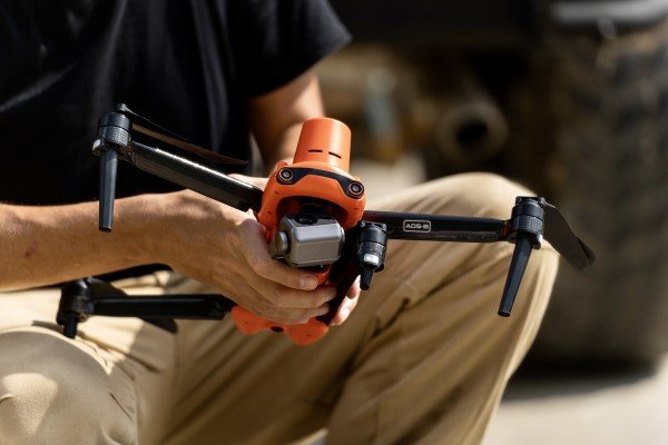
The function of the RTK system incorporated in the aircraft is to communicate with an RTK station and with the artificial satellite constellation to provide the exact real-time position of our drone, which can be known at all times while it is in operation.
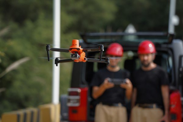
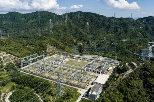
In addition to centimeter accuracy, the RTK system provides protection from possible interference from radio frequencies (RF) and electromagnetic fields (EMF). This type of interference occurs when we fly our aircraft near high and medium voltage lines, radio towers, large metal structures, antennas, etc… Operations commonly performed by pilots engaged in industrial activities.

Interference generated by radio frequencies or electromagnetic fields cause the loss of GPS connection, which causes the aircraft to enter ATTI (Attitude) flight mode.
In inexperienced pilots, ATTI mode may cause the aircraft to be unable to maintain its horizontal position without pilot intervention, causing equipment to collide due to lack of control.
Another important function offered by the RTK system is the accuracy of the geo-referenced information captured by the aircraft. This allows to know and save the position that the aircraft maintained at all times by means of coordinates, which can be used to repeat future flight missions following exactly the same route or to know exactly the geographical position in which photographs or videos were taken, very useful to keep track even at a later date.
For these reasons, nowadays, drones and the use of RTK are essential tools for the development of field work in many industrial sectors, here are some examples:
- Inspection of Telecommunication Towers
- Inspection of high and medium voltage lines.
- Offshore Platform Inspection
- Mapping and Supervision
Subscribe to our newsletter
Keep up to date with all the latest news on predictive maintenance and reliability!